جهاز Pherefix SP30 GNSS مثبت على عصا قياس، يُظهر التصميم المتين باللون الأصفر والذهبي مع شعار Pheref

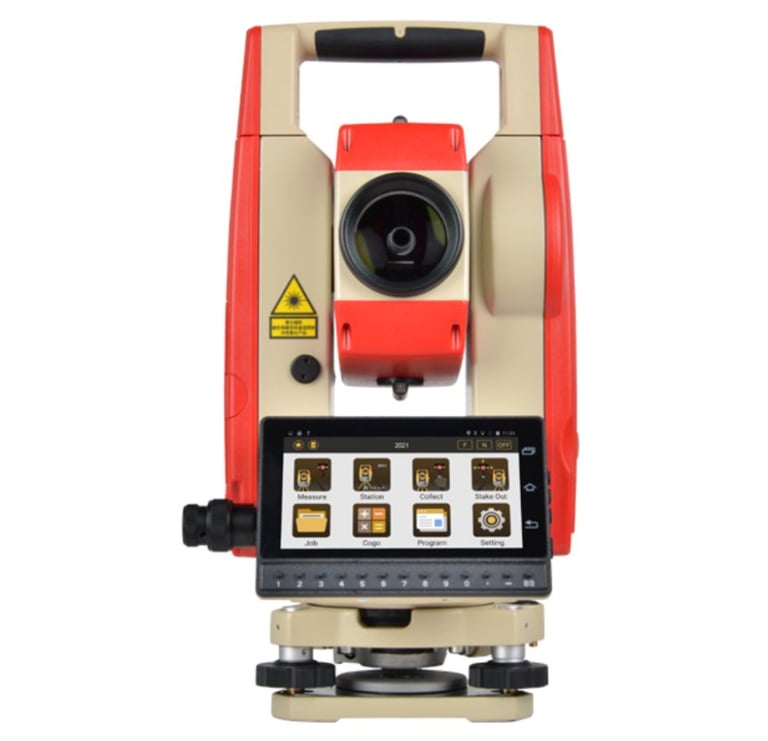
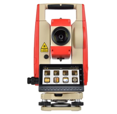
KTS-552R10 Total Station | 8 - Core CPU Kolida SurveyStar محطة رصد أندرويد توتال ستيشن

توفير تقنيات GNSS عالية الدقة للمشاريع المختلفة.

حلول المساحة المتقدمة

نلتزم بالدقة والابتكار في تقديم خدماتنا.

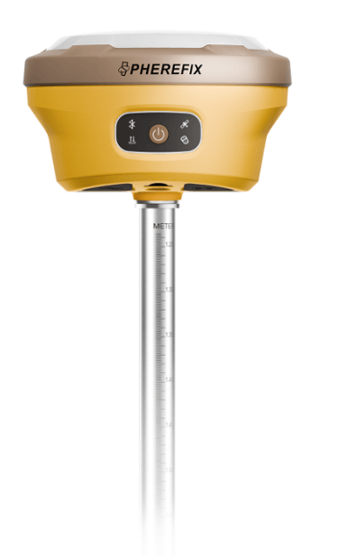
جهاز Pherefix SP30 GNSS – دقة عالية لتحديد المواقع

يتميز Pherefix SP30 بتقنيات GNSS المتقدمة لدقة فائقة في تحديد المواقع، مع دعم لأنظمة GPS، GLONASS، BDS، GALILEO، وغيرها. مزود بمعالج Qualcomm Cortex-A7، وكاميرا AR عالية الدقة، ونظام قياس ليزري دقيق بخطأ ≤2.5 سم. يوفر اتصال Bluetooth، Wi-Fi، وراديو لنقل البيانات بسلاسة، مع بطارية تدوم لأكثر من 24 ساعة. تصميمه المتين IP68 يجعله مثاليًا للمسح الطبوغرافي والهندسي في البيئات القاسية.

Several yellow rectangular tags with rounded corners are scattered on a flat surface. Each tag has two holes on either side and contains black text, showing combinations of letters and numbers such as GPS_0, ANT_5A, and ANT_0A.

معرض

استعرض أحدث تقنيات المسح الجغرافي والجيوماتكس لدينا.

A hand is holding an open brass compass against a blurred natural background, suggesting a field or open landscape. The compass needle points ahead, and the person's sweater is visible, indicating it might be cool weather.
A smartphone displaying a digital map is being held by a hand, while another hand points to a specific location on the screen. Additional hands are partially visible, suggesting collaborative navigation or decision-making.
A person wearing a high-visibility safety vest and a beanie stands outdoors, operating a theodolite mounted on a tripod. The background includes the facade of a residential building with balconies.
A person is viewing a map with red data points on a computer monitor, likely indicating a geographical distribution. The image has a focus on technology and data analysis.
A hand holds a smartphone displaying a map and navigation interface, with points of interest highlighted. The phone is held by someone wearing a dark wristband. In the background, there is a blurred view of a car surface.